TAA (FAR 52.225-5) and NDAA §889 screening performed on every line before a quote is issued. Hardware sourced through US distribution.
Scope
GNSS · LiDAR · GEOINT tooling · capture platforms
Compliance
TAA-screened sourcing · NDAA §889 screened
Deliverables
Field-rugged kits configured to one data schema
Built for
GEOINT, survey and engineering-mapping programs
Overview
Data-capture hardware sized to the accuracy you actually need
Survey hardware usually gets bought before anyone has written down the accuracy the data product needs. That is how a program ends up with a GNSS receiver that overshoots the requirement and a LiDAR unit that quietly misses it. We start from the positional accuracy and the deliverable, and source against that — GEOINT tooling, LiDAR, GNSS/GPS and the field kit that keeps it all working in the weather it works in.
How we work
Accuracy requirement first, platform second
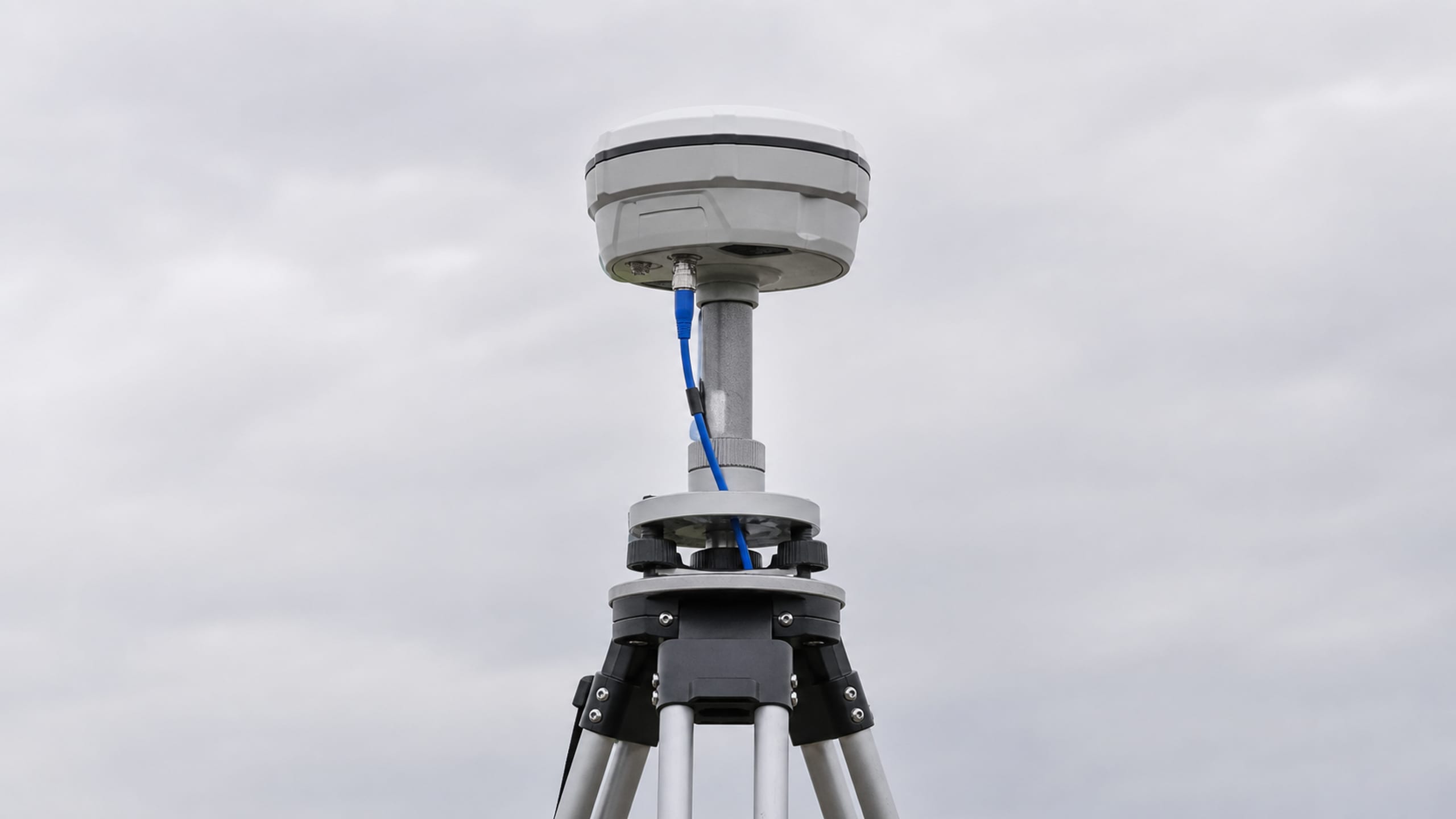
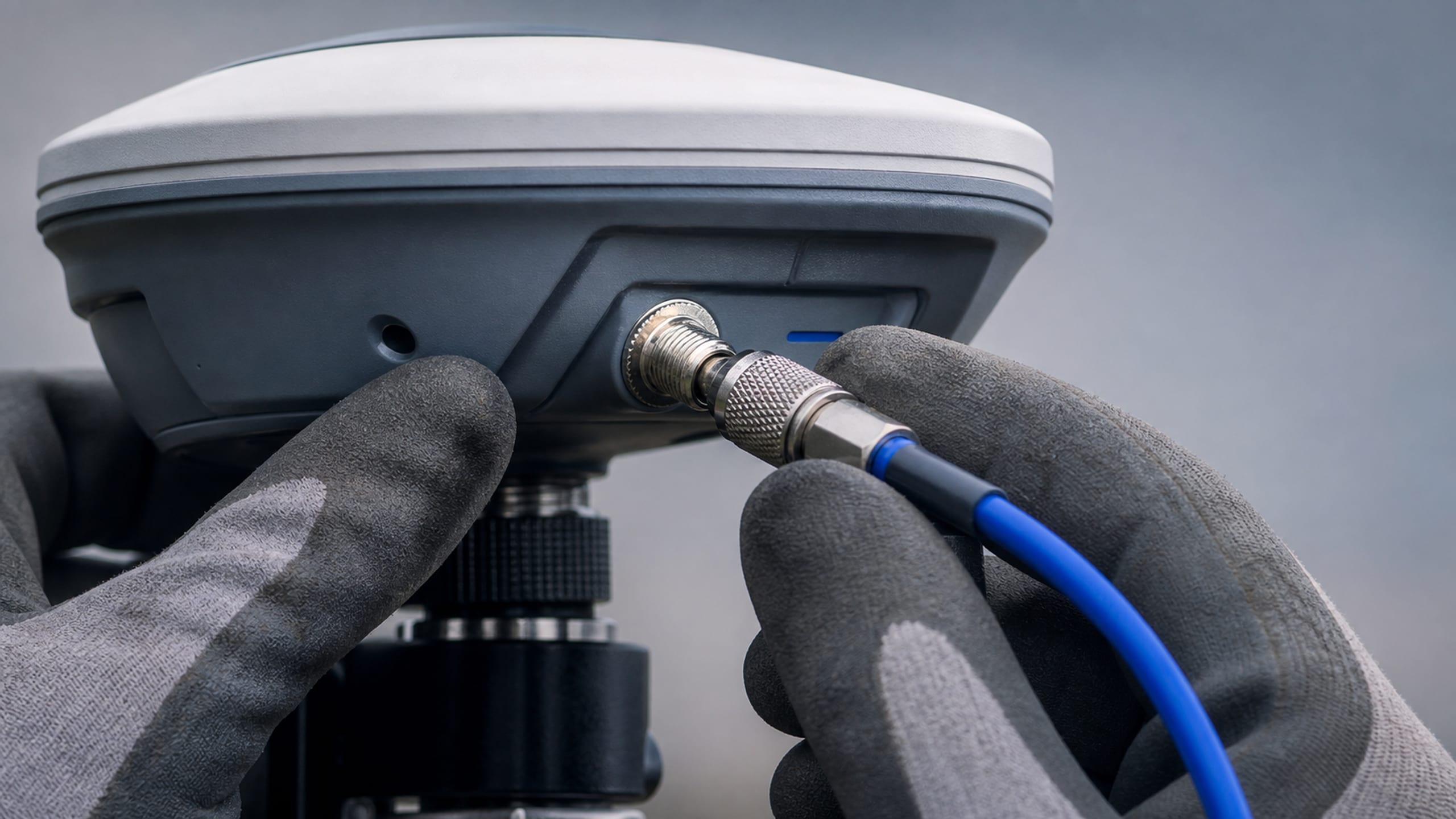
We start by defining the accuracy budget your end product actually requires — survey control, engineering-grade mapping, or reconnaissance-level positioning each call for a different class of GNSS receiver and correction service, and the gap between them is a significant cost swing.
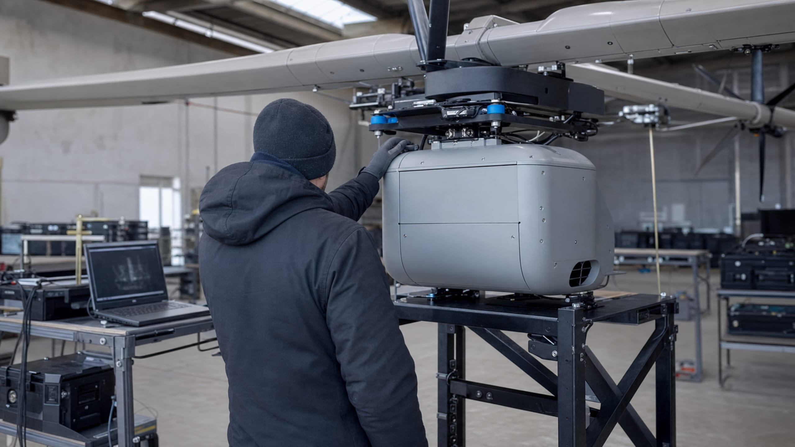
LiDAR and sensor payloads are matched to the capture platform — airborne, mobile or terrestrial — and to point-density requirements, then integrated with GEOINT software tooling so the data-capture hardware and the analysis pipeline are validated together before the system is fielded.
Accuracy-budget scoping before GNSS/GPS receiver selection
LiDAR sensor and platform matching by point-density requirement
GEOINT software tooling integration with capture hardware
RTK/PPK correction-service configuration for survey-grade accuracy
An accuracy budget is built backward from the deliverable's tolerance: the positioning error the end product can absorb is apportioned across the receiver, the correction method and the field procedure, and that apportionment — not a datasheet headline — decides the receiver class. Survey control, engineering-grade mapping and reconnaissance-level positioning each land in a different tier, and pinning the requirement to the right one is done before a receiver is selected, not discovered when the deliverable fails to close.
The spread between those tiers is real money, so getting the tier right is where a mapping program protects its budget rather than paying for accuracy it will never use. RTK and PPK correction services are configured for the positioning method the work calls for, whether that's a base-and-rover survey or a network correction subscription.
Accuracy budget defined from the end data product, not the receiver
Receiver class matched to survey-control, engineering or recon positioning
RTK/PPK correction-service configuration for survey-grade work
Cost tradeoffs between accuracy tiers made explicit at scoping
TAA country-of-origin documented across receivers and field devices
LiDAR & sensor matching
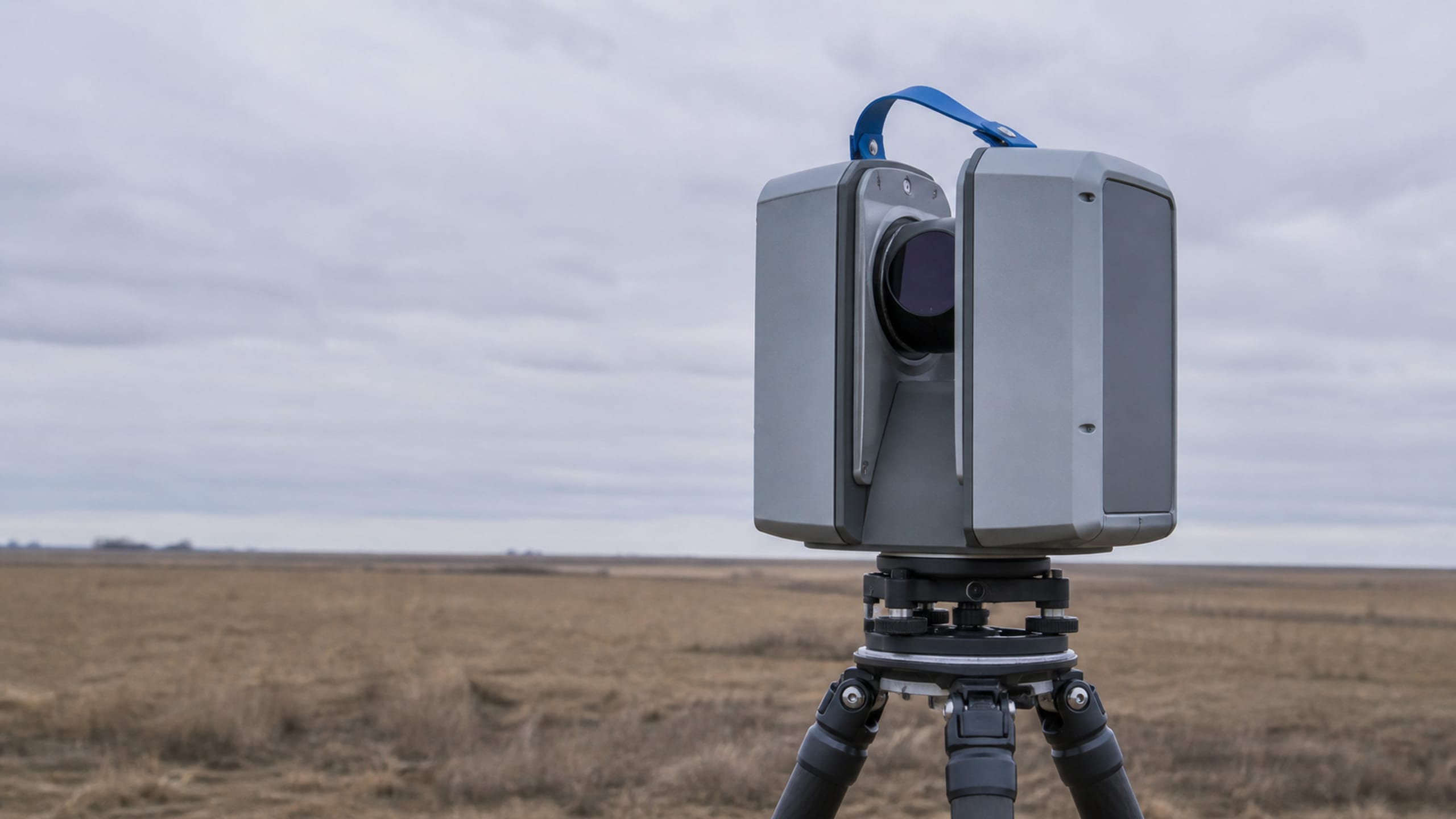
LiDAR and imaging payloads are matched to platform and point-density requirements — airborne, mobile or terrestrial each imply a different sensor class and a different acquisition workflow. We scope the sensor against the coverage area and the deliverable's density, not a headline points-per-second figure.
The airframe or mobile platform that carries the sensor is part of the specification: mounting, power, vibration isolation and data storage are validated with the sensor so the capture platform performs as one integrated system in the field.
Airborne, mobile and terrestrial LiDAR sourcing
Sensor matched to point-density and coverage requirements
Capture platform, mounting and power validated with the sensor
Imaging and multispectral payloads where the deliverable needs them
Integrated capture system tested before field deployment
GEOINT tooling integration
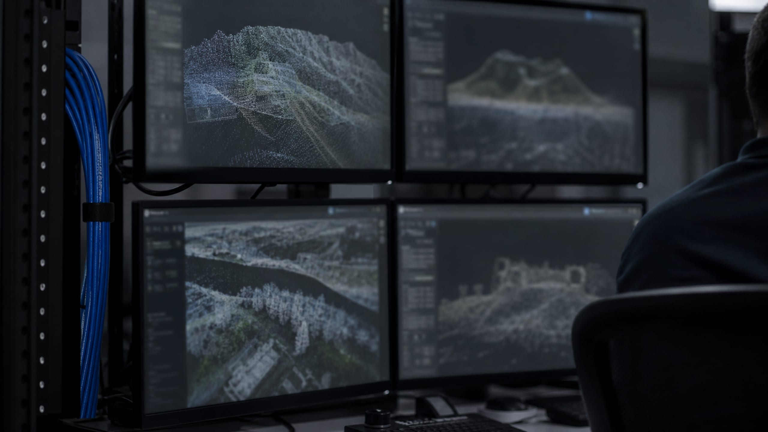
Capture hardware that can't feed the analysis pipeline is a bottleneck, not a tool. We confirm your GEOINT software's supported point-cloud and imagery formats during scoping and configure the capture hardware to output directly into that pipeline, so the data lands ready to process.
Where a program standardizes across teams, we set receivers, LiDAR units and tablets to a common data schema and workflow before deployment, so data from every crew merges into the same pipeline without a manual reconciliation step.
Supported point-cloud and imagery formats confirmed at scoping
Capture hardware configured to output into your GEOINT pipeline
Common data schema and workflow standardized across crews
Networked and secure storage for controlled or sensitive geodata
Validated capture-to-analysis pipeline before fielding
Field-rugged multi-crew kits
Survey and mapping hardware works in conditions a data-center rugged rating doesn't anticipate — mud, moisture, drop risk and long days on battery with no outlet in sight. We source data-capture hardware rated for the conditions your crews actually report, not the conditions a marketing photo suggests.
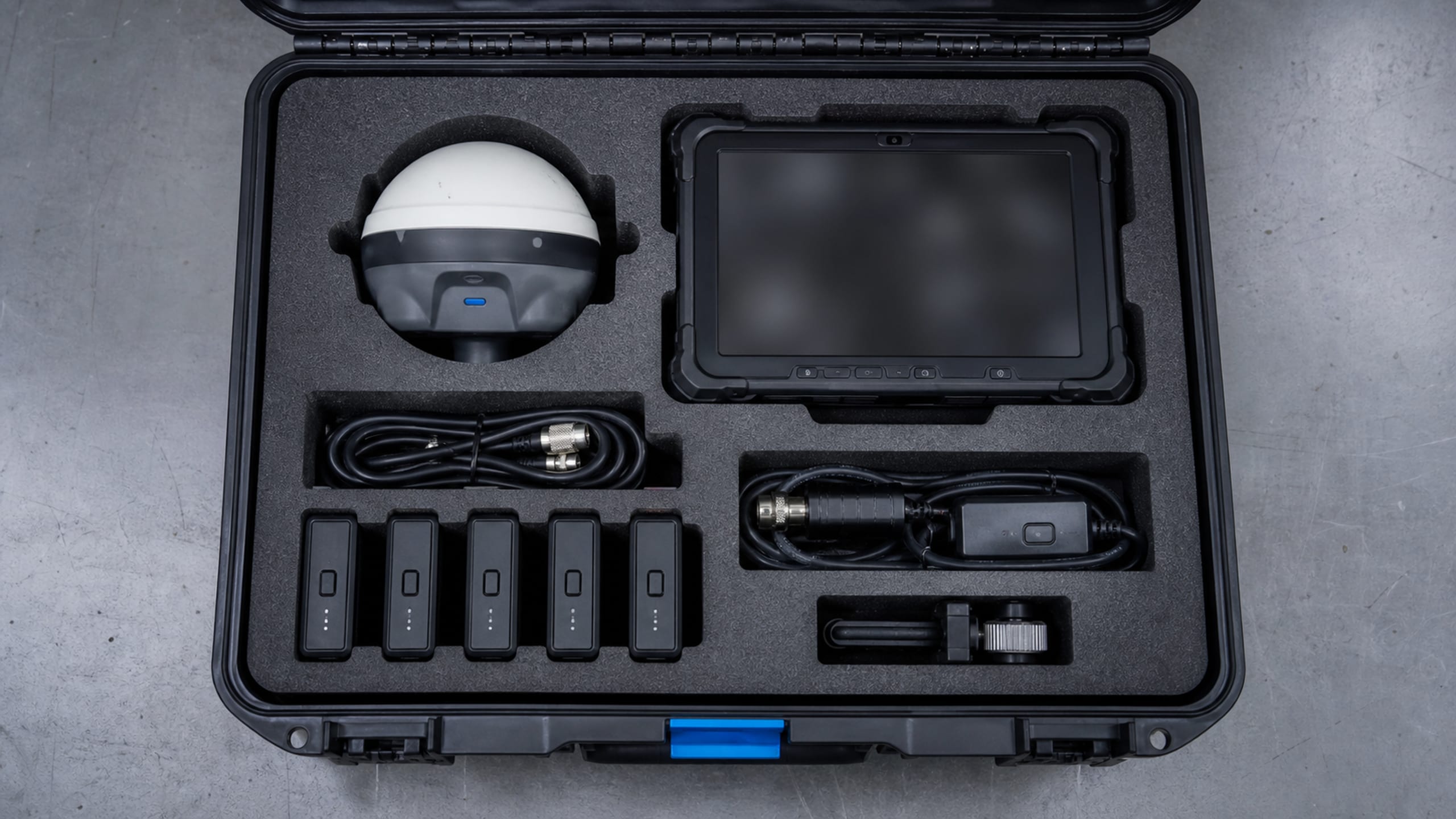
For programs running multiple field teams, we configure and kit matching hardware sets — receivers, LiDAR, tablets, power and cases — to a common configuration, so every crew fields the same setup and data merges cleanly.
Hardware rated for real field conditions, not lab ratings
Matching kits configured across multiple crews
Field power, batteries and protective cases specified per environment
Rugged tablets and controllers for data collection
Consistent configuration so multi-crew data reconciles
What's included
Capture hardware to analysis pipeline
GNSS/GPS receiver selection against positional accuracy requirements
LiDAR sensor and platform matching for point-density and coverage needs
RTK/PPK correction-service setup for survey-grade positioning
GEOINT software tooling integration and data-schema standardization
Field-rugged hardware kitting for multi-crew deployments
TAA-screened sourcing across receivers, sensors and field devices
Fielded hardware
Platforms we field in this lane
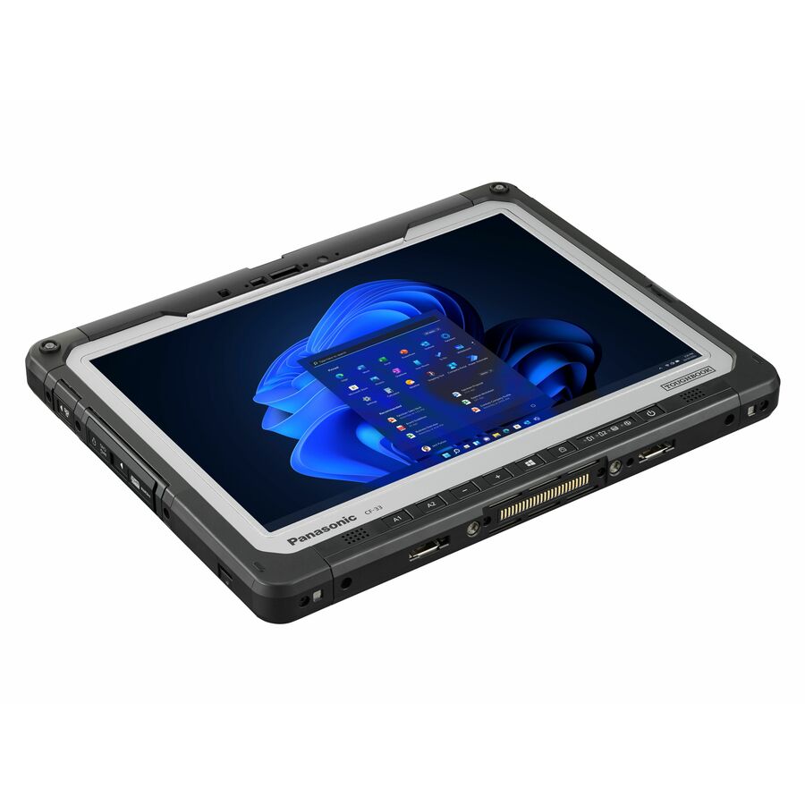
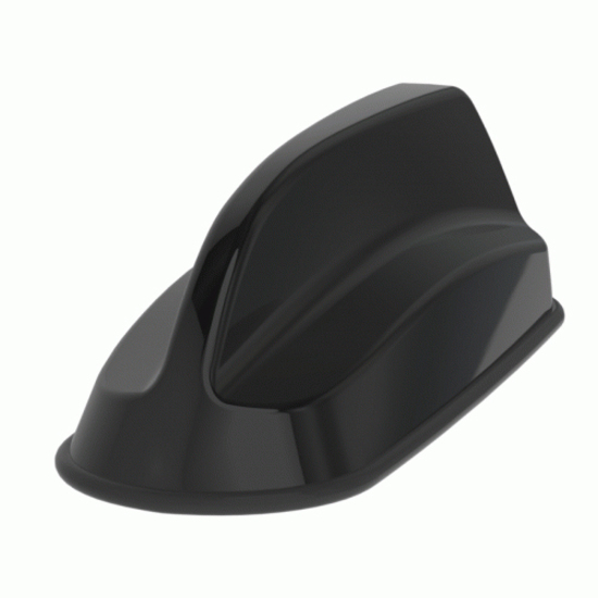
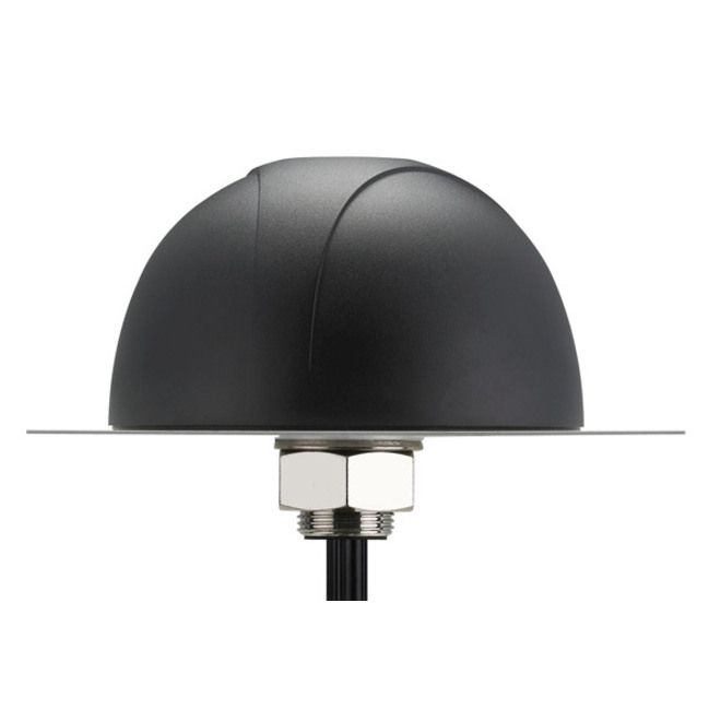
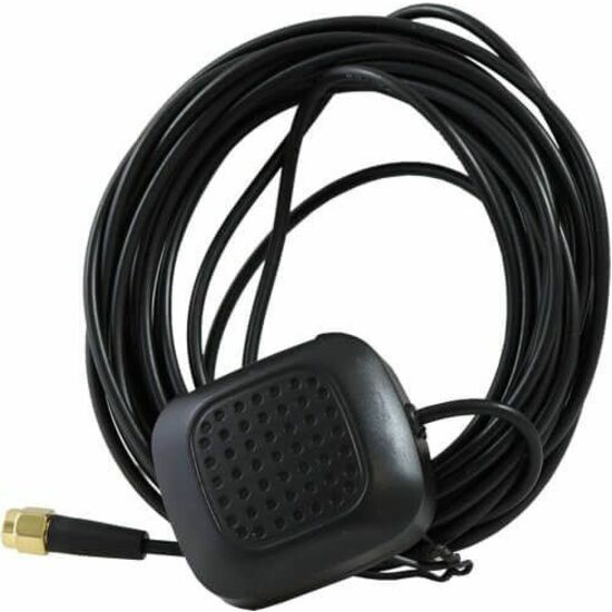
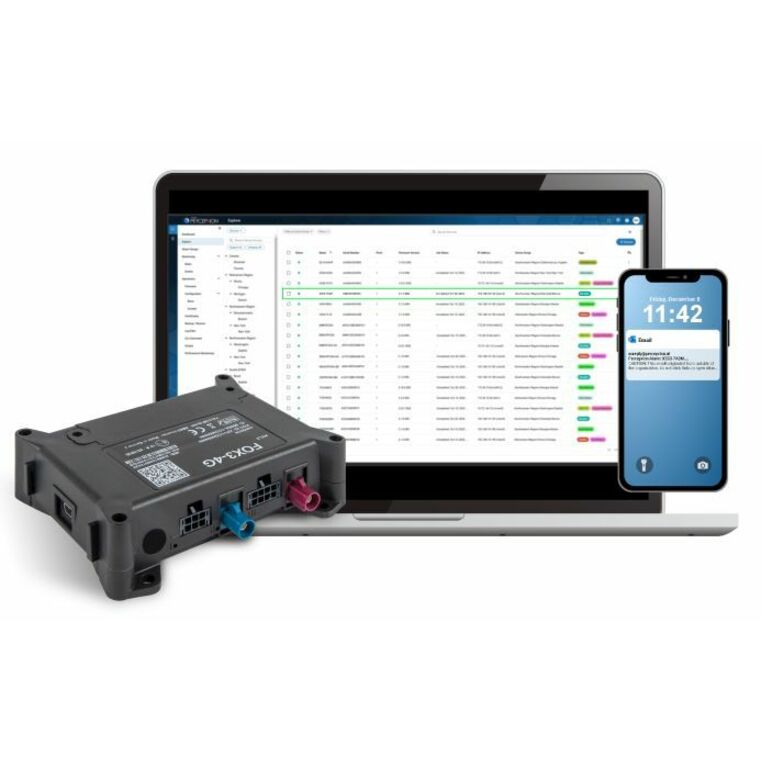
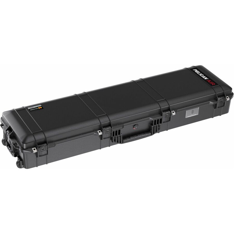
Representative hardware from the live Uniqcli catalog: sourced through US distribution, screened line by line, and configured for the program before it ships.
How do you decide what accuracy class of GNSS receiver we actually need?
We scope the end data product first — survey control, engineering mapping, or general positioning — and work backward to the receiver and correction-service tier that meets it, rather than defaulting to the highest-accuracy (and highest-cost) option.
Can you integrate LiDAR data capture with our existing GEOINT software?
Yes. We confirm your software's supported point-cloud formats and workflow during scoping and configure capture hardware to output directly into that pipeline.
Do you supply field-rugged hardware for multiple survey crews at once?
Yes. We can configure and kit matching hardware sets across crews to a common schema, so data from every team merges without manual reconciliation.
Can you supply the airborne platform as well as the sensor?
We source and integrate the data-capture payload and, where the program calls for it, the platform that carries it — airborne, mobile or terrestrial. Mounting, power and data storage are validated with the sensor so the capture system works as one unit; we supply and integrate the hardware rather than flying collection missions.
Does the hardware ship with country-of-origin documentation?
Yes. TAA country-of-origin is documented per lot across receivers, sensors and field devices, and covered-equipment screening applies where NDAA §889 is in scope. The paperwork travels with the order so a federally funded program has it on file.
How an engagement runs
From requirement to delivered, in four steps
1
Brief
Send the requirement as it exists: a statement of work, drawings, a bill of materials or a problem statement. A briefing call scopes it against the lines above.
2
Scope and quote
Feasibility, country-of-origin and §889 screening, and lead times come back with a line-item quote. Nothing is committed until the scope is agreed.
3
Build and integrate
Manufacture, rack, image, configure and test in the facility, so the first time the system is assembled is not on install day.
4
Deliver and sustain
Delivery with serialized chain-of-custody records, then warranty, RMA and lifecycle support on the same relationship.
Compliance and documentation
Screened before it is quoted, documented when it ships
Country of origin and §889 status are checked per line while the quote is being built, not after a program review asks. The same record travels with the order: what was sourced, where it came from, who handled it and when it shipped.
TAA (FAR 52.225-5) country-of-origin screening on every line
NDAA §889 covered-equipment screening on every line
FIPS 140-2/3 validated options where the requirement calls for it
DoDIN APL listing paths verified before a quote is issued
Section 508 / VPAT documentation available on request
Serialized chain-of-custody records delivered with every shipment
Start from the data product and the positional accuracy it has to hold — not from a receiver model. The hardware and the workflow recommendation follow from that.